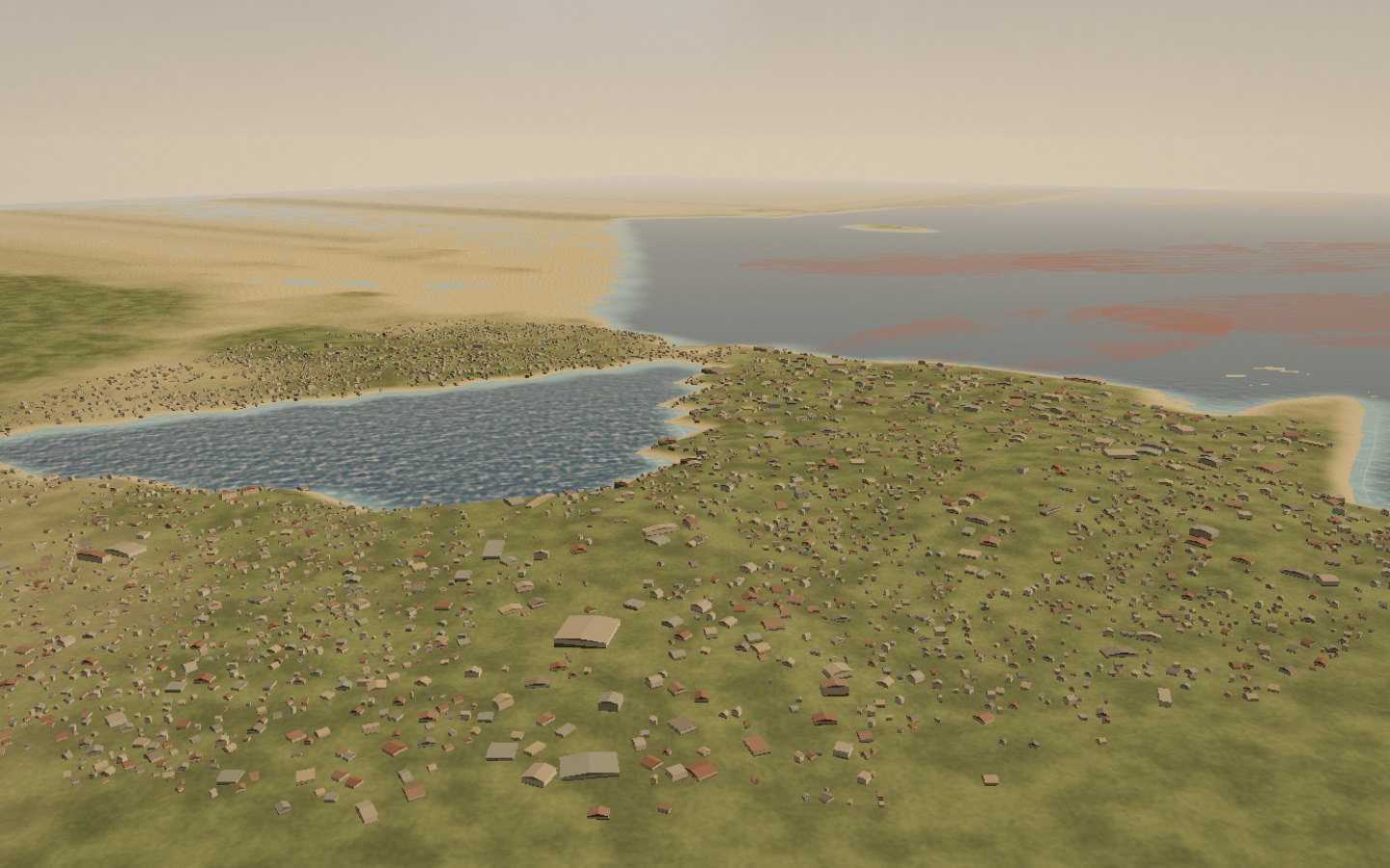
The city stretches between Bombetoka Bay and the Indian Ocean. Capital of the Boeny region and Madagascar’s third city, Mahajanga has watched the dhows sail by for three centuries. To the north, the Betsiboka River stains the sea with ochre; at dusk, the waterfront lights up facing the sunset.
The best season runs from May to November, in the heart of the dry season.
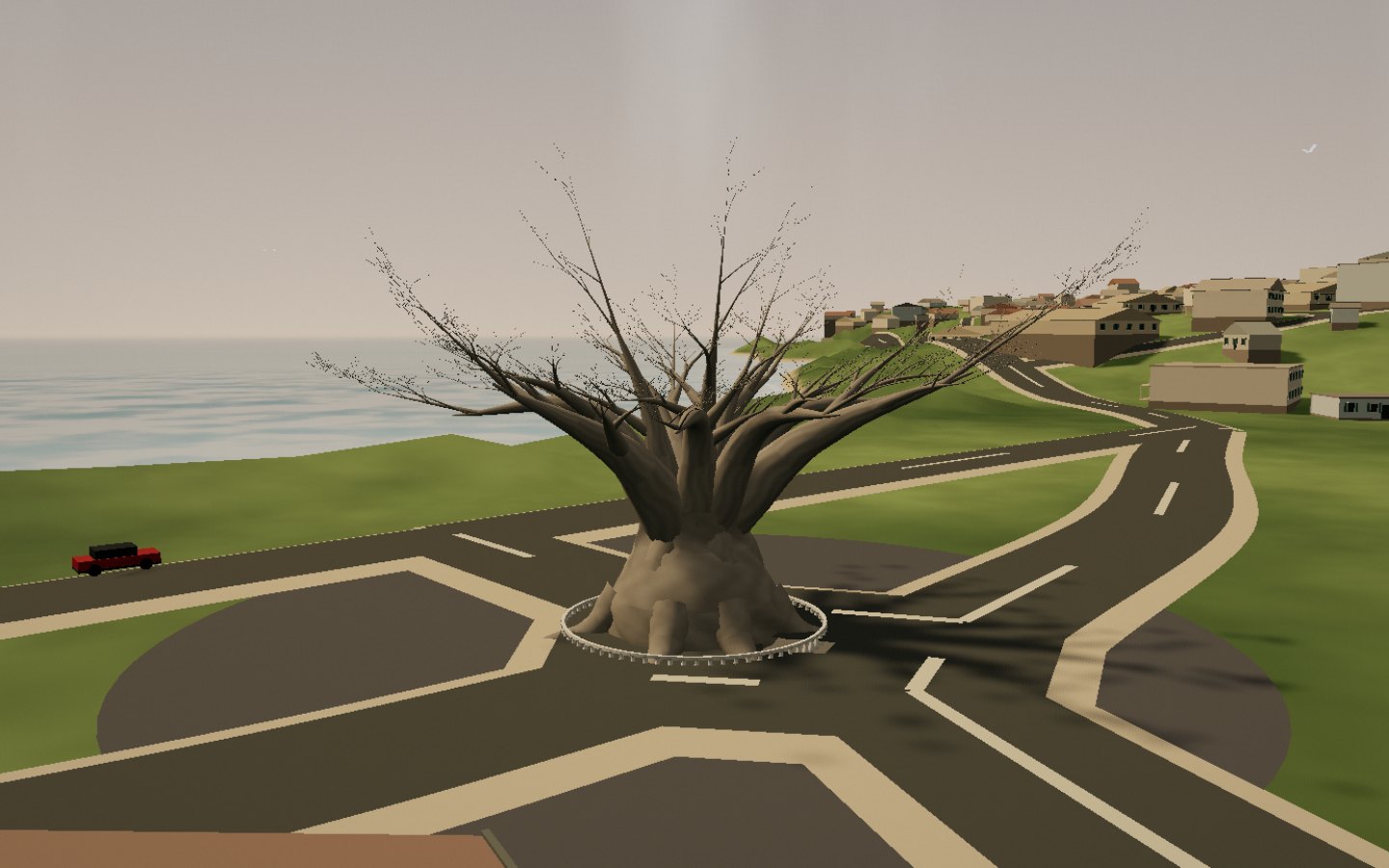
Planted nearly three centuries ago, the Grand Baobab is the emblem of Mahajanga. Tradition says every traveller must walk around its trunk seven times to receive the blessing of the ancestors. Around it, the waterfront lines up its palms, fishermen and skewer sellers until sunset.
The baobab is protected by a white fence in the middle of the roundabout on Avenue de France.
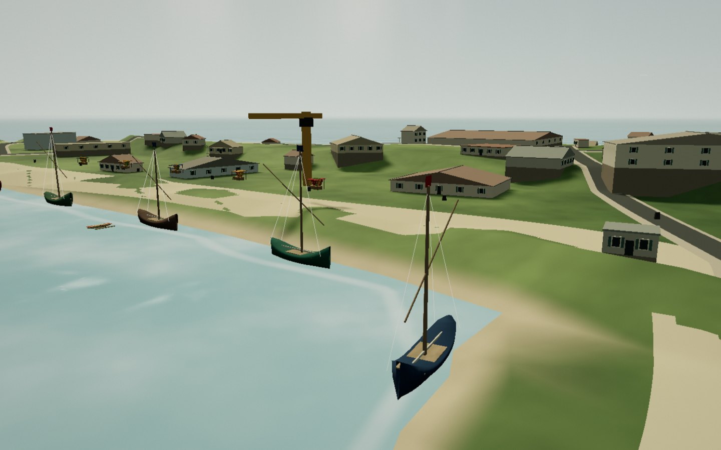
Madagascar’s second commercial port, Mahajanga is the hub of west-coast shipping. The boutres — lateen-sailed dhows inherited from Arab sailors — line the quays, masts raised and hulls painted. Dried fish, rice, cement, spices: the whole north-west passes through here, between fishermen’s canoes and cargo ships.
Dhows are still built at the Marolaka shipyard, south of the city.
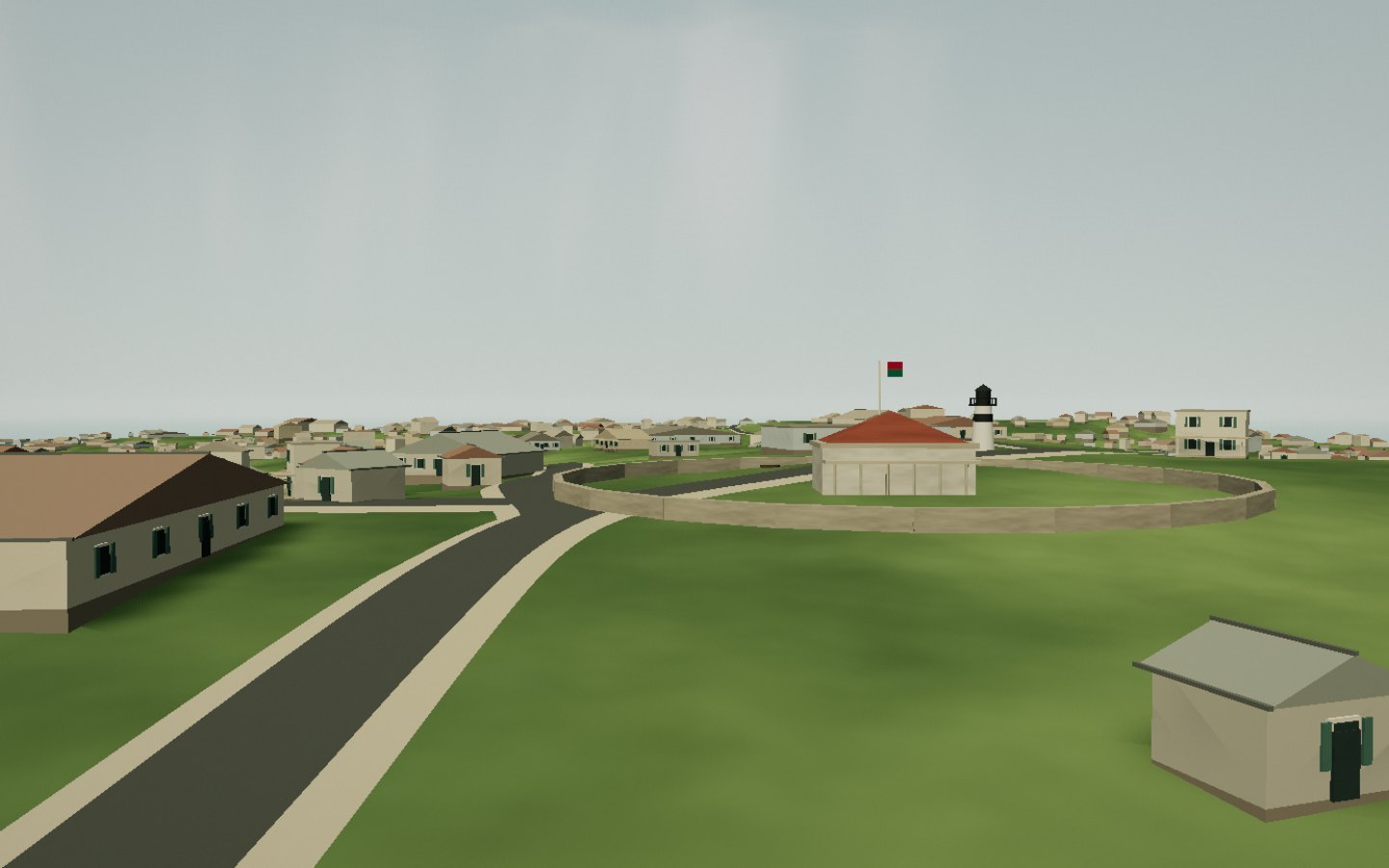
Androva Hill rises about sixty metres above Mahajanga. Here stood the rova, the royal palace of the Sakalava kingdom of Boina, then the stone residence of the Merina governors after 1824. Today the hill carries a lighthouse, the university hospital and the remains of a fort. From the lookout, the colonial town, the bay and the masts of the harbour unfold in a single view.
The Merina rova was built in stone on the orders of Radama I after his conquest of 1824.
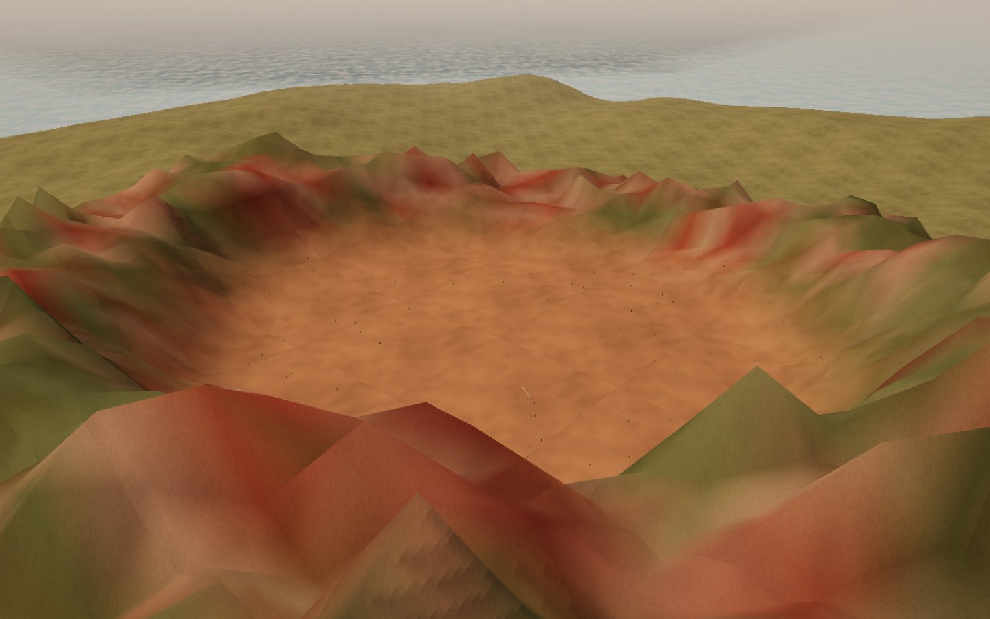
North of the city, on the airport road, a cliff of clay and sandstone hollows into an amphitheatre. Twelve shades run from pale pink to deep red, separated by whitened bands and topped with green bushes. Locals play football on the red sand; at sunset, the light sets the pinnacles ablaze.
Once called Anahidava, the site is listed as national natural heritage. Stay on the floor of the cirque: the walls are fragile.
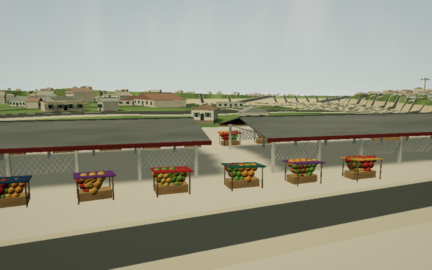
Under white lattice halls and red signs, the markets of Mahajanga spread out their stalls: fruit, dried fish, spices, cloth, basketry. Colourful rickshaws cut through the crowd, vendors balance baskets on their heads. This is where the Sakalava, Indian, Comorian and Chinese legacies of the city of flowers meet.
Come early in the morning: that is when the deliveries arrive and the light is best.
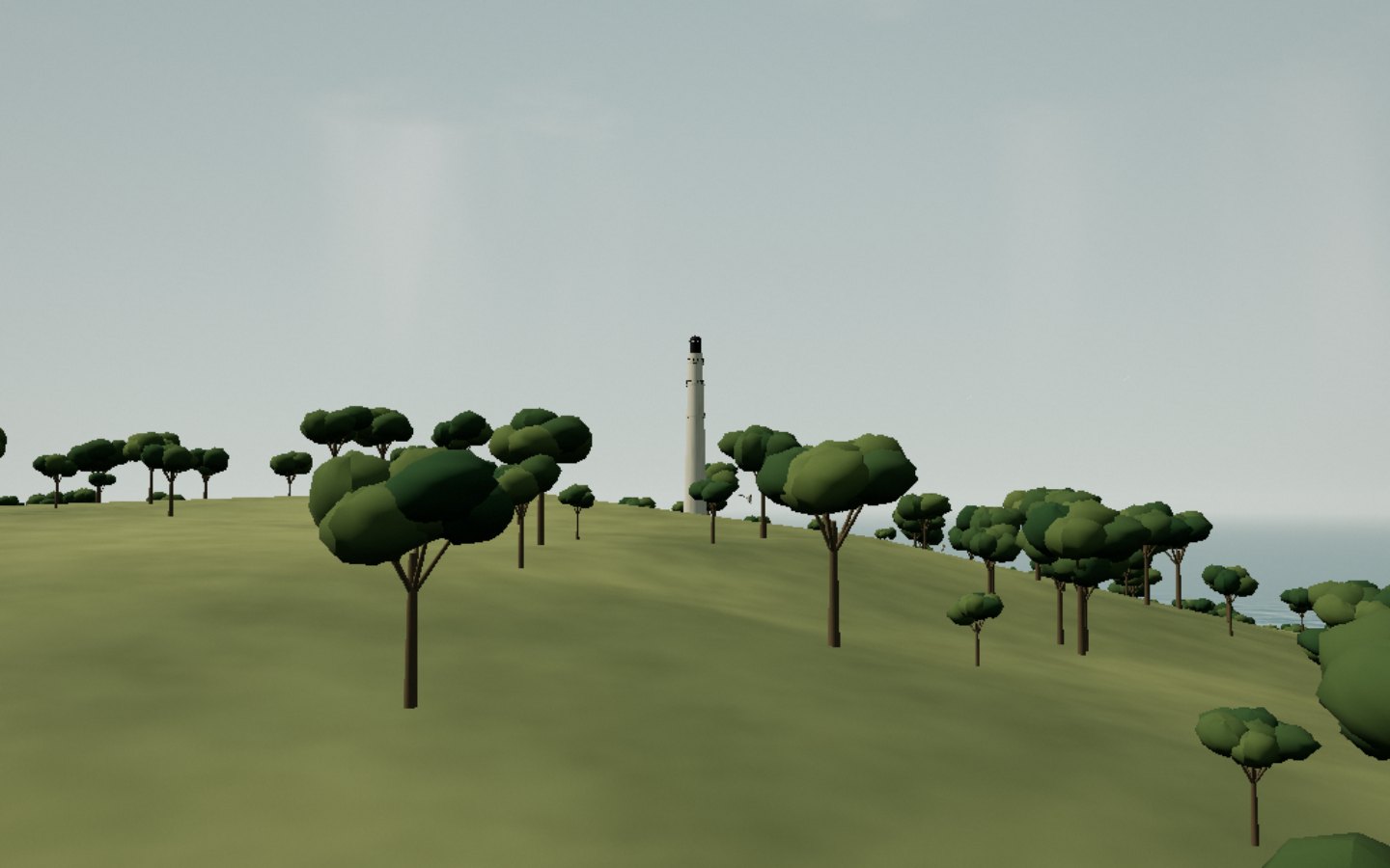
The ferry leaves Mahajanga for Katsepy, on the far side of Bombetoka Bay. On its hill, the 1901 lighthouse, built of riveted iron by French engineers, climbs its 174 steps to a full panorama of the river mouth. Around it: the fishing village, the Blue Cirque with its eighteen hues, mangroves, and three species of lemurs living near the lighthouse.
The Baobab ferry crosses in 45 minutes; check the schedule the day before.
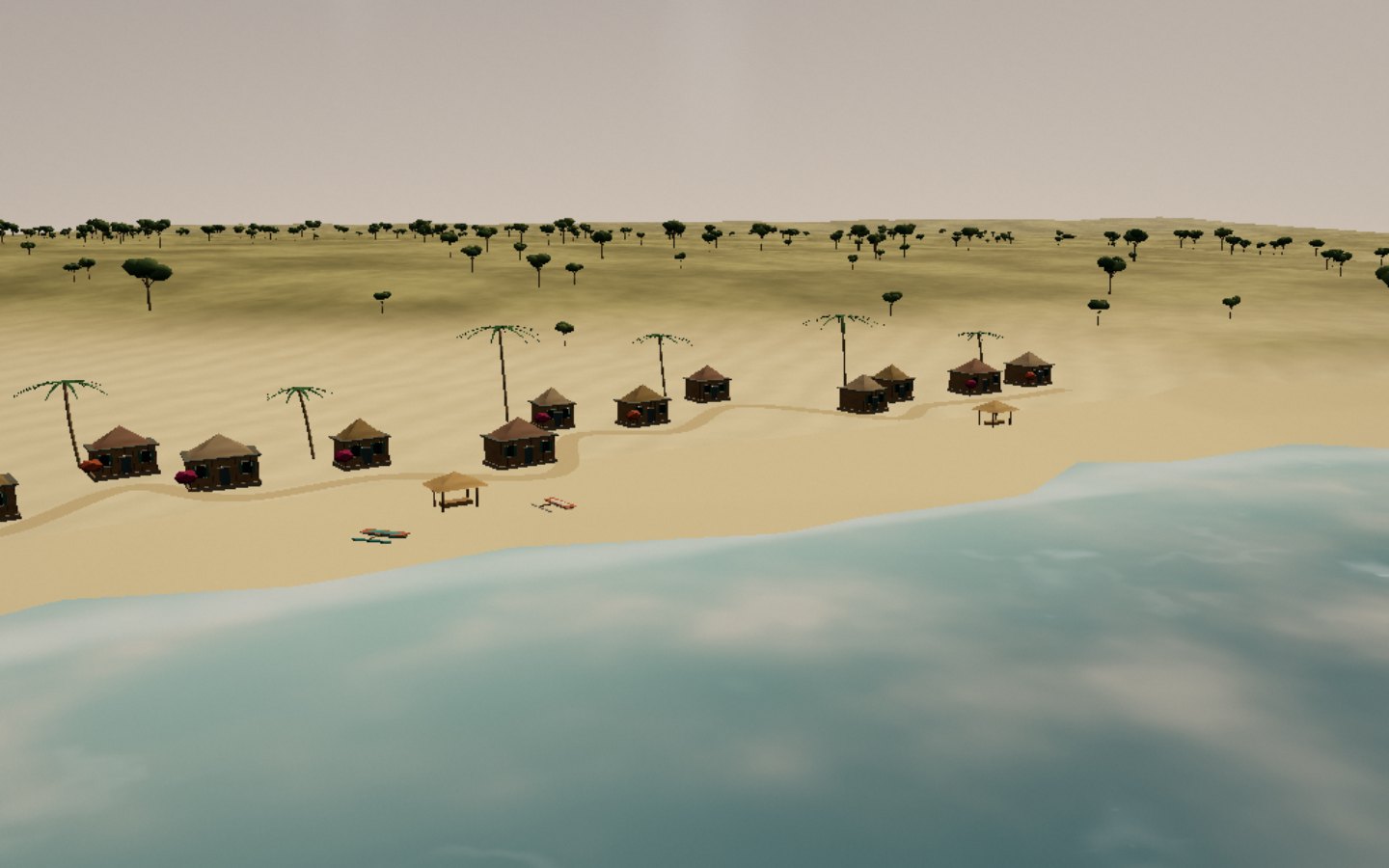
North-west of the city, the long beach of Antsanitia stretches out at low tide into mirrors of water. Surfers watch for the swell of the Mozambique Channel, canoes head up the Morira river through the mangroves, and from August to October humpback whales cross offshore. In the evening, palm-leaf kiosks light up under the trees.
Respect nesting areas: sea turtles lay their eggs on some north-western beaches.
Two hours away by road, Ankarafantsika National Park protects 135,000 hectares of dense dry forest and savanna. Its trails lead to baobabs, to Lake Ravelobe where Nile crocodiles float, and to the calls of Coquerel’s sifakas. Eight lemur species, 129 bird species including the Madagascar fish eagle: wild Boeny starts here.
The Coquereli loop follows the lake; park guides spot the lemurs in the early morning.
Eighty kilometres north-east, the hill of Anjohibe is pierced by more than thirty entrances. Beneath the savanna, the limestone network unrolls chambers decorated with stalactites, rimstone pools and the Decary river still flowing through. Palaeontologists found dwarf hippos and giant subfossil lemurs here: Madagascar’s oldest traces of human activity sleep in these sediments.
Visits are made with a local guide, by headlamp; some galleries are slippery.
Upstream of Mahajanga, the Betsiboka deposits millions of tonnes of ochre silt every year. The delta, photographed from space, draws bright red veins through the turquoise sea. Pirogues glide between sandbanks, mangrove islets and fishing villages; waterbirds colonise the mudflats at low tide.
The red silt is a sign of accelerated erosion in the highlands, visible from space.